
Village Atlas
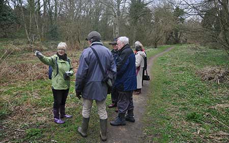
Cleadon architectural walk with Lucy Routledge
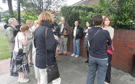
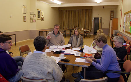
- Cleadon architectural walk with Lucy Routledge

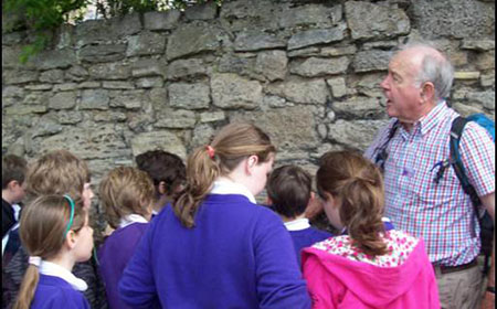
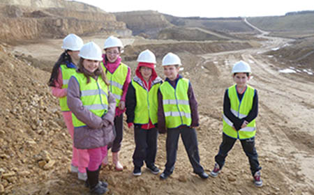
- Cleadon children learn about geology in buildings
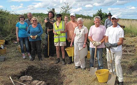
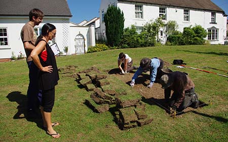
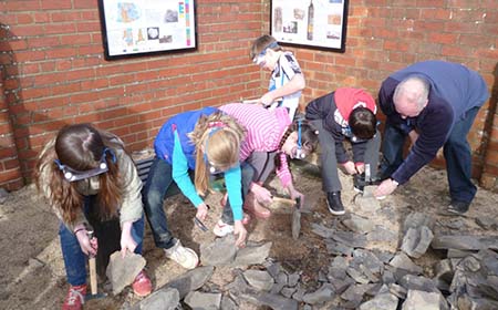
- Cleadon Milll excavation
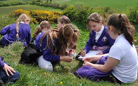
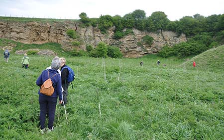
- Cleadon Hills ecological surveying
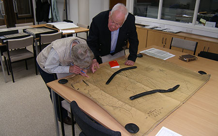
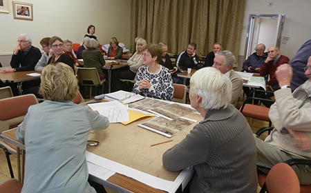
- Cleadon examining archive maps
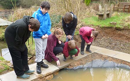
- Easington children pond dipping
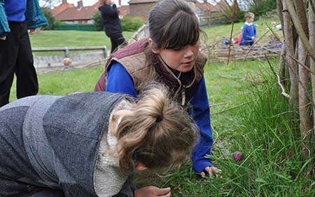
- Easington children survey wildlife in their school grounds
- Paul Williams shows the Easington Raised Beach
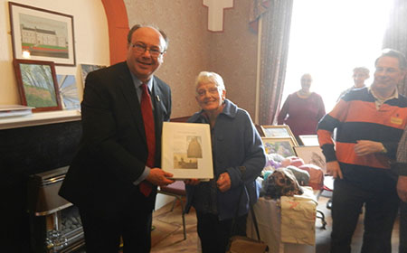
- Cllr Myrtle MacPherson receives the Easington Atlas
- Elwick archaeological dig on the Village Green
- Elwick open day with consultants
- Elwick residents mapping the Village
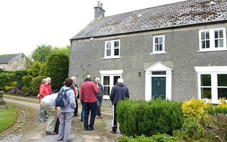
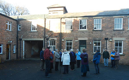
- Elwick building recording group discuss findings
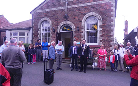
- Elwick Village Atlas celebration event is launched
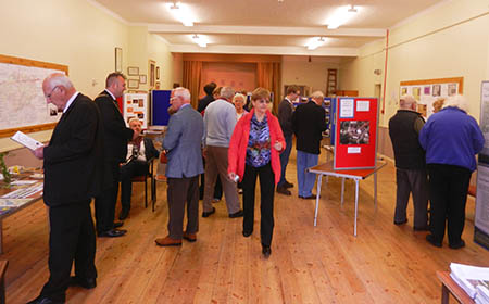
- Displays at the Elwick Village Atlas celebration event
- Ferryhill Peter Ryder at Little Chilton medieval hall
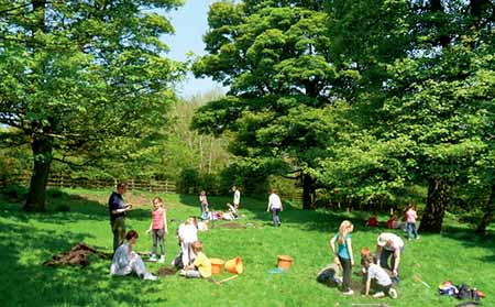
- Dean Bank Primary School at Cassop
- Hetton Bogs ‘kick’ sampling to test water quality
- Hetton Bogs ‘kick’ sampling to test water quality
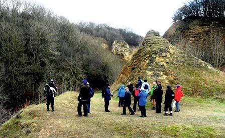
- Hetton Geology visit to Moorsley
- Wildlife walk through Hetton Bogs
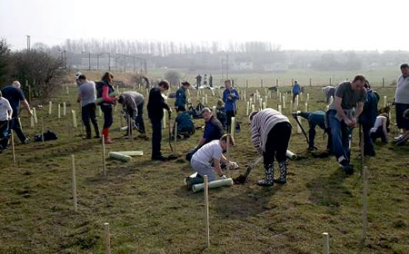
- Wheatley Hill tree planting at Gore Burn woods
- Test pitting at old Thornley
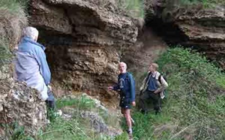
- Geology Walk at Wingate Hill
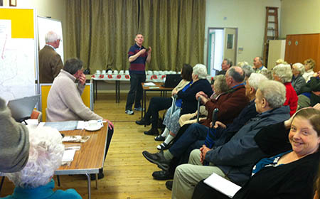
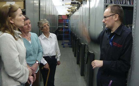
- Volunteers at the Durham Records Office
The Limestone Landscapes Team has worked with six communities to help them understand how their place developed and what is important within it. We used oral history, maps, archaeology, historic buildings and landscapes and linked these with the geology, streams and wildlife to provide a fuller understanding of how each settlement came to be like it is.
This Project is now completed.
The Village Atlas Project
This Project has completed its research in all six settlements. You can now download copies of the Village Atlases and other documents from the Town or Village’s link below:
Project Areas

Contact Information
For more information contact Sue Mullinger, Durham County Council on:
Tel: 03000 267 142